Earth Observation and Remote Sensing training and certification programmes
Explore the benefits for offshore and shipping


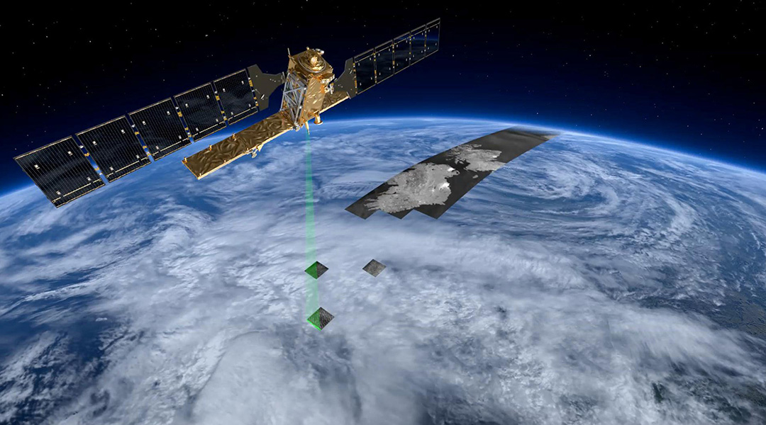
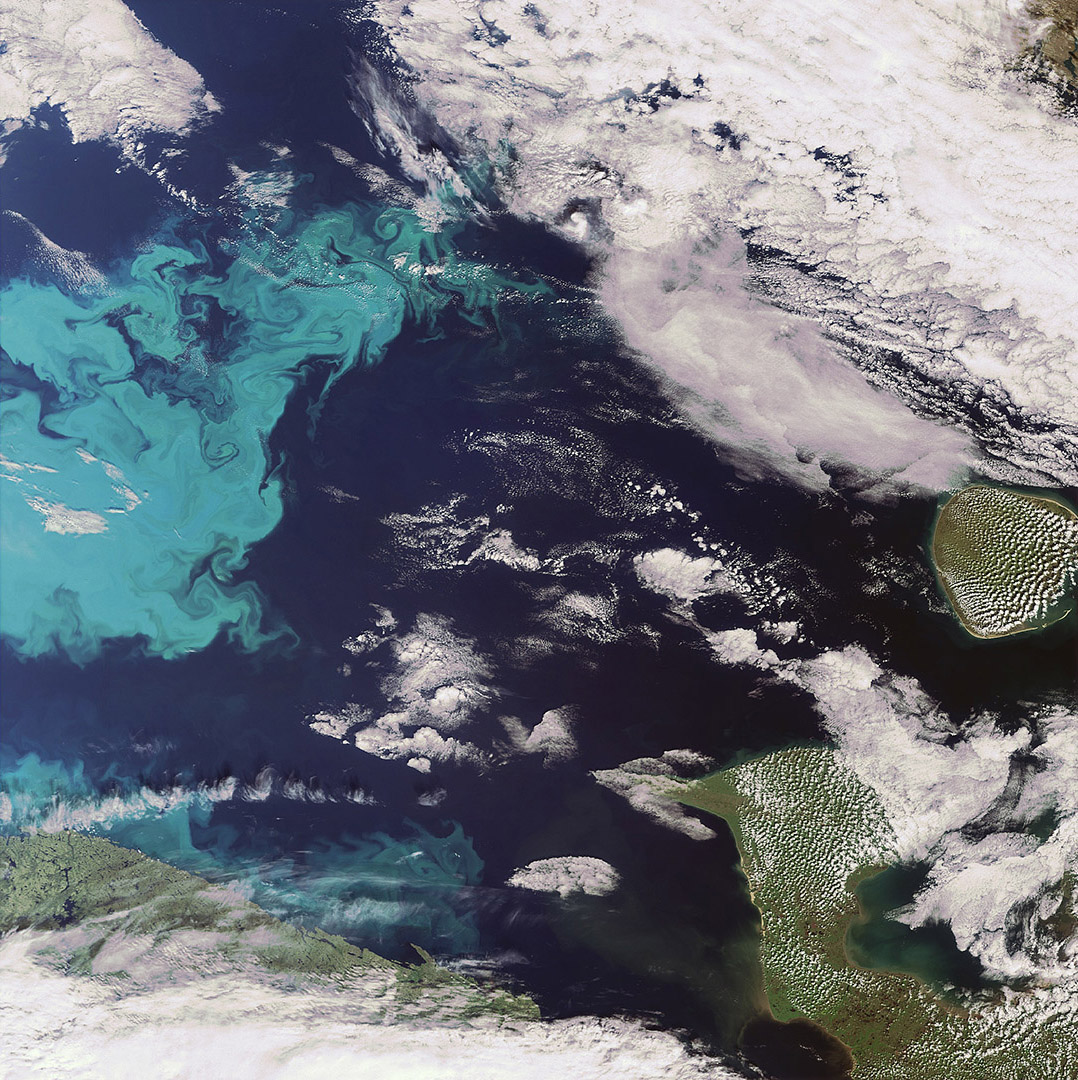
Earth Observation data and Remote Sensing provide essential information to the maritime industry for improved safety, security, navigation and transport efficiency.
Today, most of this information is provided to ships through intermediaries that process and interpret Earth Observation data for the end user. Then the observations are merged with other auxiliary information and delivered with a time delay to offshore and shipping. However, lag time in delivering processed information to the ship severely limits its usefulness for many applications, such as tactical-level ice navigation. On-board access to real-time Remote Sensing data removes this limitation, but requires that Masters/Navigators have the necessary expertise to interpret and use this data. To utilise Earth Observation information to its fullest extent, Masters/Navigators need an appropriate understanding of its strengths and limitations. Once this is achieved, the Masters/Navigations can utilise the Earth Observation capabilities for great operational benefits.
OffshoreCertification.com has therefore established a standard of competence for the use of remotely sensed earth observations in the normal, daily operational routine of passenger transport, energy supply (production and transport) and ports and coastal infrastructures. End users in these domains will be trained in safety, navigation and security services that are based on Earth Observation data. They will explore and learn the benefits and opportunities associated with relatively new advancements in the use of Earth Observation data combined from various platforms, such as satellites, ships and coastal stations.


