For Training Centres
Train mariners in safety, navigation and security services that are based on Earth Observation and Remote Sensing data.
Read more:
High-quality training programmes and training certification for offshore and shipping
Competence standard

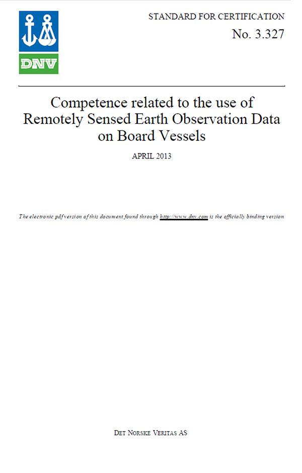
The Training Certification development team has established a competence standard for the use of remotely sensed Earth Observation data. The competence standard is developed by and for operational mariners in offshore and shipping.
A competence standard defines a set of competences for a specified person to perform identified tasks to a defined standard in a particular environment. It is the essential starting point for developing a successful training programme of the use of Earth Observation data on board maritime infrastructures.
The competence standard focuses on how to interpret and use Earth Observation data in the offshore and shipping domain. It contains specific competence definitions and defines what a person working with Earth Observation data on the bridge of a vessel must know or be able to demonstrate before he/she can be considered competent for this specific task.
Foundation training course
The competence standard has been the basis for a foundation training course.
A foundation or model training course is the baseline for all training programmes. It represents all the various competences and provides the requirements for how each training course should be structured (such as the type of lessons, qualification of students, classroom style, training requirements, examination, and accreditation).

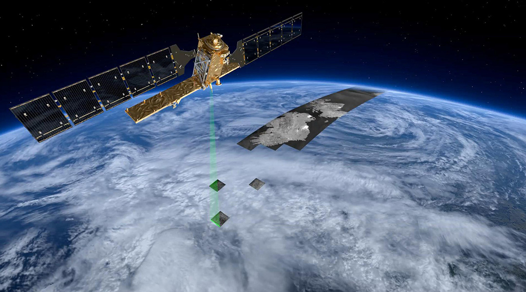
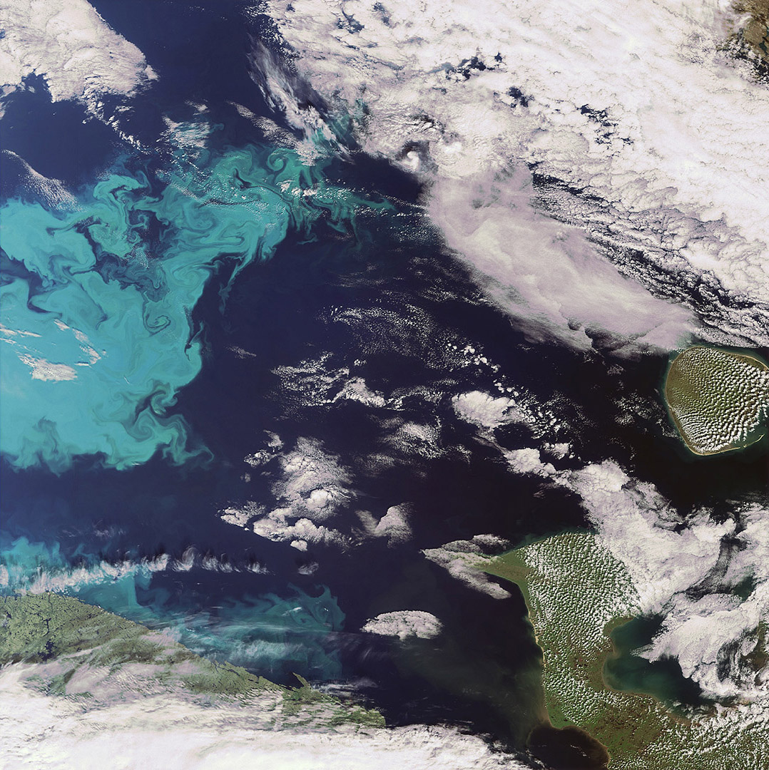
The foundation training covers several case examples to provide training centres with hands-on knowledge of the most typically used sensors for maritime applications (like synthetic aperture radar (SAR), altimeter, radiometer, and spectrometer) as well as the various levels of processing such data. The training activity covers sea state (waves, wind, current), sea ice (ice concentration, ice drift) and ship and object detection, characterisation and tracking data. These case examples focus on the ability to extract relevant information for maritime applications. Specific characteristics of particular platforms or sensors are addressed to emphasise both advantages and limitations, in order to stimulate correct and effective use of the data.
Furthermore, the foundation training course gives training centres an overview of the various Earth Observation service platforms that are typically available to the end users and shows the increased value of using Earth Observation data compared to traditional data.
The foundation training course includes a session towards the end where training centres are able to reflect on and discuss the use of Earth Observation data in maritime applications. The aim of this session is to understand if there are any unidentified and important service gaps that could be provided in the short term.
A lesson plan, a set of presentations, hand-outs, group work/cases material and written exams for participants are all included in the foundation training course.
The foundation course is the baseline for any training centre that would venture into simulator training of Earth Observation and Remote Sensing systems and sensors. The foundation course is certified by DNV GL.
Training courses
Each learning programme based on the foundation training course has a standard of quality appropriate for maritime officers. All training courses are developed in a structured and transparent way where DNV GL's standard for Learning Programmes and sound educational principals are followed.
The overall objective of each training course is to train mariners in safety, navigation and security services that are based on Earth Observation and Remote Sensing data.
Training courses can be designed to meet the needs of specific learning environments, such as training simulators and other training facilities. Furthermore, the training courses may focus on specific applications and/or target a particular group of end users.
 Training course examples for the use of Earth Observation (EO) and Remote Sensing (RS) for offshore and shipping.
Training course examples:
- General use of Earth Observation and Remote Sensing in the offshore and maritime domain
- Earth Observation and Remote Sensing for tactical ice navigation
- Earth Observation and Remote Sensing for oil and gas operations
- Earth Observation and Remote Sensing for delicate offshore operations
Training courses can be provided in training simulators or 'live' on modern bridge systems.
More information
Please get in touch with us to learn more about our training courses and how they can be developed specifically for your training centre.
